
SUSTAINABLE TRAVEL IN PETERBOROUGH
Helping you get around more sustainably with ease.
SMARTER, CLEANER WAYS TO MOVE
Whether you’re walking the dog, commuting to work or heading into town, choosing low-carbon travel doesn’t have to mean making big changes. Here’s what’s available in and around Peterborough to help you travel more sustainably.
CYCLING ROUTES
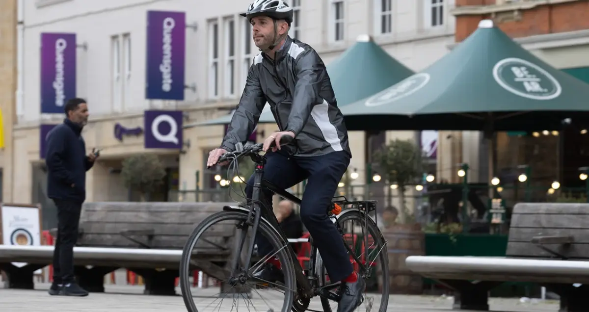
Perfect for commutes, or weekend adventures, explore Peterborough’s extensive cycle network and improve your health at the same time.
Explore the iconic Green Wheel: a low-traffic circular route that connects you to nature, parks, and local highlights.
You’ll find useful information and inspiration on Peterborough City Council’s cycling pages, including a full map of the city’s cycle routes.
Google Maps has a handy cycling mode, highlighting all local trails, dedicated cycling lanes, bike-friendly roads, and dirt/unpaved trails.
Don’t feel confident cycling? You can also sign up for free adult cycle training with Travelchoice.
THINK!, the UK Department for Transport’s road safety campaign, advises how to cycle on the road safely.
Walk Wheel Cycle Trust has lots of great advice too, including tips for beginners, commuters, and families.
And if you don’t have a bike of your own, you can hire bikes at Nene Outdoors to enjoy miles of family-friendly and traffic-free cycling routes in Nene Park.
WALKING ROUTES

Whether you’re out for fresh air or heading to the shops, Peterborough has plenty of walkable routes to choose from.
Walking (or wheeling) is free, simple, and good for your heart and the planet.
Peterborough City Council has a wealth of advice on walking around the city here. You can also find a map of pedestrianised routes in the city centre at the Visit Peterborough website.
Using free, online maps, such as Google Maps and Plot a Route, it is easy to plan greener, more pleasant routes on footpaths and quieter streets, avoiding the city’s busier roads. If you’re not in hurry, why not take the scenic route via parks, local nature reserves, or Peterborough’s beautiful riverbank paths?
You can also browse Ordnance Survey maps, showing footpath, bridleways and other local rights of way, for free, on Bing Maps.
Walking purely for pleasure? Want inspiration? Check out the walks and trails section of the Nene Park Trust website.
There’s a map of the entire Nene Park estate, with a mix of walking routes stretching from Thorpe Meadows via Ferry Meadows to the Trust’s Rural Estate. The park hosts several sociable walking groups, which run a variety of walks through the year, including weekly wellbeing walks.
Free wellbeing walks, supported by Vivacity, take place regularly around the city.
Looking to step up a level? Why not join one of Peterborough’s two rambling groups to enjoy guided country walks on Peterborough’s doorstep – and beyond:
PUBLIC TRANSPORT
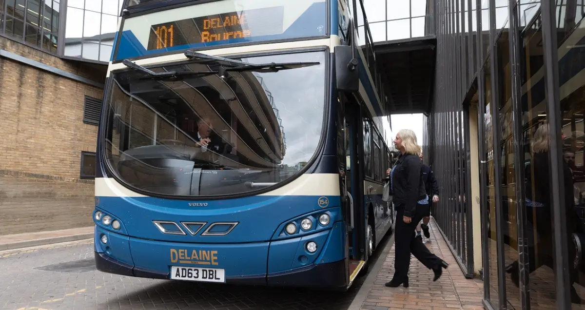
Most local bus services are operated by Stagecoach East. You’ll find timetables, route maps and a journey planner on their website.
You can also use the Stagecoach smartphone app to buy mobile tickets in advance and track buses using a live bus map.
Other local operators include Delaine Buses and Central Connect. All routes and timetables can be found at bustimes.org, which shows bus stops and real-time bus movements on an interactive map.
If you’re planning a longer, multi-leg journey, try the Traveline website, which lets you choose your preferred modes of public transport. You can also adjust your journey plans to suit your walking speed and range.
Google Maps has similar journey-planning features and shows all local bus stops.
All train services from Peterborough railway station – to London, the Midlands, the north and east of England – can be found at the National Rail website.
Remember to take advantage of discounted fares such as getting a Railcard for train travel, or for the bus, a Tiger Pass (under 25s) or Concessional Fare (over 60s).
EVS & CHARGING POINTS

Driving electric? Here’s what you need to know.
A filterable map of every public EV charging point in and around Peterborough is available at Zapmap. You can also browse charging points and pay for charging using the Zapmap app.
Did you know, there are currently over 150 public charging points in the city? Getting around in an electric vehicle has never been easier.
FULLY FUNDED CHARGER INSTALLATIONS
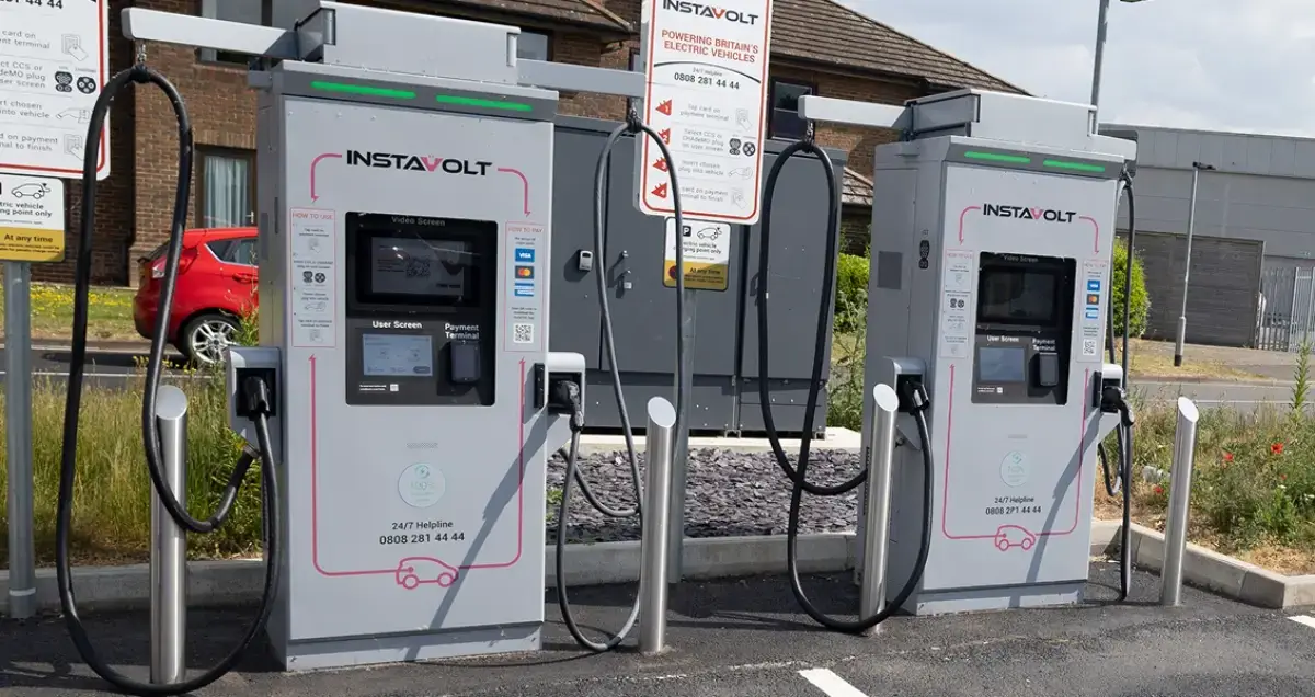
Businesses can get fully funded EV charger installations with Green Energy Switch. It won’t cost your business a penny – and the installation and aftercare are taken care of. Find out how you can get an EV charger here.
Households with on-street parking can receive grants towards buying and installing a chargepoint here.
Charge up while you shop, work or grab a coffee. Check out ZapMap to find local EV charging points.
CARPOOLING
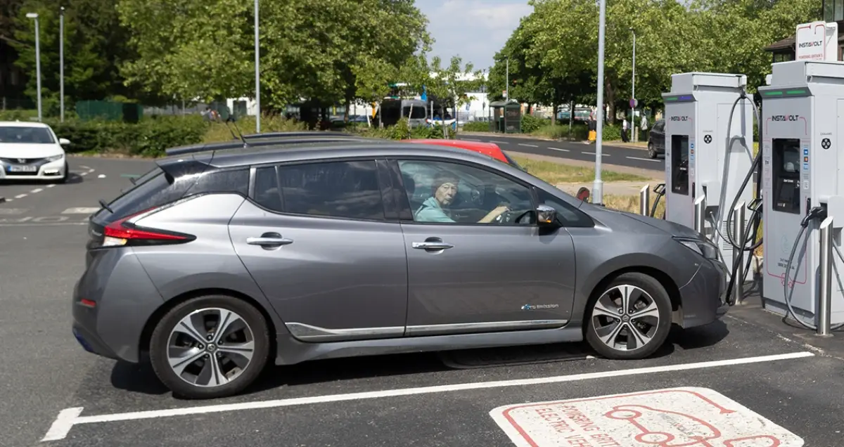
Fewer cars = fewer emissions. So why not share your ride and save some cash?
Liftshare makes it simple for commuters. Just download the app, register for free, then add your journey and find other people to share it with.
It’s an easy way to cut your CO2 emissions, save money on fuel, lower your impact on local air quality, and help reduce rush-hour congestion on Peterborough’s roads. Who knows, your lift share buddies could be your new best friends.
Sharing a lift for the school run has all the same benefits.
Less congestion on our road to improve air quality, lower fuel costs for you, and the chance of new friendships.